
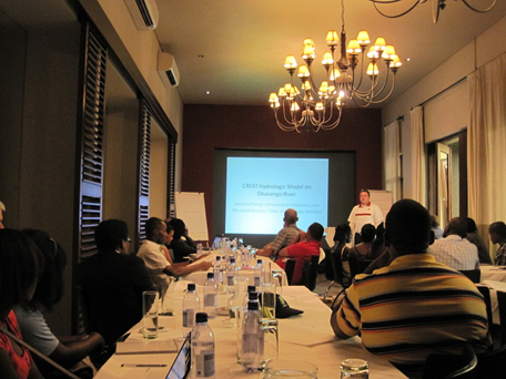
OSDC PIRE researcher Zac Flamig, University of Oklahoma, participated in a scientific meeting with NASA and the Namibia Department of Hydrology
to discuss work on the Coupled Routing and Excess STorage (CREST) distributed hydrological model.
The visit to Namibia included discussions with Guido Van Langenhove, director of the Namibia Department of Hydrology, about requirements for establishing a hydrologic model for prediction of flooding on the OKavango River. The desire is to set up the CREST hydrologic model at a courser resolution, either 4km or 12.5km, instead of the current 1km resolution in order to decrease computational time requirements. The hydrologic model will be calibrated using cloud-computing capacity to exploit the parallel nature of the calibration problem.
Additional discussions about model physics were had with a general understanding that the physics in the CREST model would be sufficient for use now but that heterogeneity in soils across the watershed must be dealt with in order for the hydrologic model to produce useful predictions. The Okavango watershed features head waters with soils that are easily saturated, which then produce a large volume of surface run-off while the rest of the watershed features sandy soils, which are not conductive to producing surface run-off.
Ground validation activities in Namibia include collecting GPS data points along the edge of the water via helicopter and boats provided by the Department of Hydrology. The edge of the water was mapped by traveling along the waters edge in a boat with a GPS logger, taking notes on the approximate distance to land, and documenting the land-water interface with pictures. Helicopter activities include using GPS loggers and cameras to document flooded grassy areas as well as areas known to be problematic to the satellite retrieval of inundation. These areas are documented so that improvements to the satellite retrieval algorithms can be made or in some cases so that these areas can be flagged as grasslands with no retrieval possible.